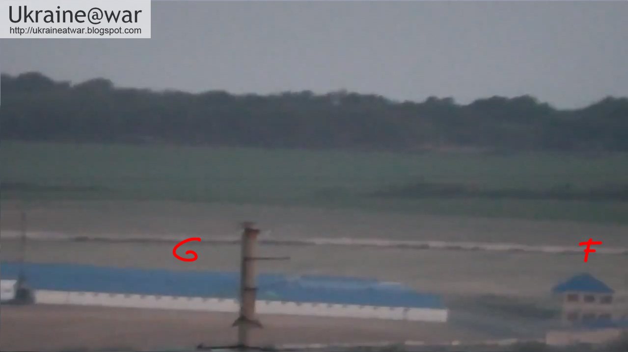
Here are screenshots:
These match with the next positions on the map:
When we draw a line between those two point, we can determine the position of the cameraman:
Zoomed in on his position:
This corresponds with the opening screenshot where we can see a little part of a building on the right:

We can see several vehicles on a road:
The blue buildings can be seen here on the map:
On several locations in Cherevkovka smoke can be seen, where fighting is going on:
This makes the total situation map like this:
Blue = border with Russia
Red = the vehicles
Yellow = approximate locations of smoke
Purple arrow = known location of Russian armor
Purple circle = border crossing Chervonopartyzansk
Scenario:
The Ukrainian army is making a lot of progress with securing the borders. When a column of their army is reaching Chervonopartyzansk, it means they had already retaken Dyakove and Dolzhanskyi, as shown in this situation map:
It also explains why Russian armor is also close to the border at Gukovo. Either as a precaution to prevent Ukraine from crossing the border with Russia. Or at a certain point they might want to join in and fire across the border?
Here is another video shot from a similar position and somewhat later:


No comments:
Post a Comment