Tuesday, January 6, 2015

Google Earth shows biggest Russian camp ever near Ukrainian border

Google just updated some imagery and now reveals the biggest Russian camp near the Ukrainian border ever on its October 10th images:


From top to bottom it is 5 kms long and it is 500 meters wide (red areas on the left side). Even the Rostov camp is not that large. The biggest part of the Rostov camp is 1,5 x 1,5 kms.

Rostov camp on same scale:


Russian Donetsk camp on same scale:


The entire area East of the camp seems to be a training field for firing some 5 x 5 kms and is littered with tracks and strange objects (large yellow area).

Note that previously this camp did not exist:


Clearly this camp has been build as a stepping stone for the August 24th Russian invasion that led to the Ilovaisk disaster and defeat of the Ukrainian army.

Here a video of that Russian invasion army can be seen:


Also read this blog about the Ilovaisk disaster.

Here are some detailed shots from the camp:


Some 200 large tents can be counted. If 20 people can sleep in a large tent, it could give shelter to 4.000 people.
But there are also some other 100-200 spaces where tents HAVE BEEN standing:


These might have been from the units that have entered Ukraine after having temporarily stayed in this base.


This shot seems to show some firing range with helicopter landing areas and strange objects in the field:


But these might also be ad hoc ammunition bunkers.

Weird patterns covered with tracks:


Maybe some trenches or underground bunkers:


Several locations with mortar impacts, showing it is used as a training and firing ground:


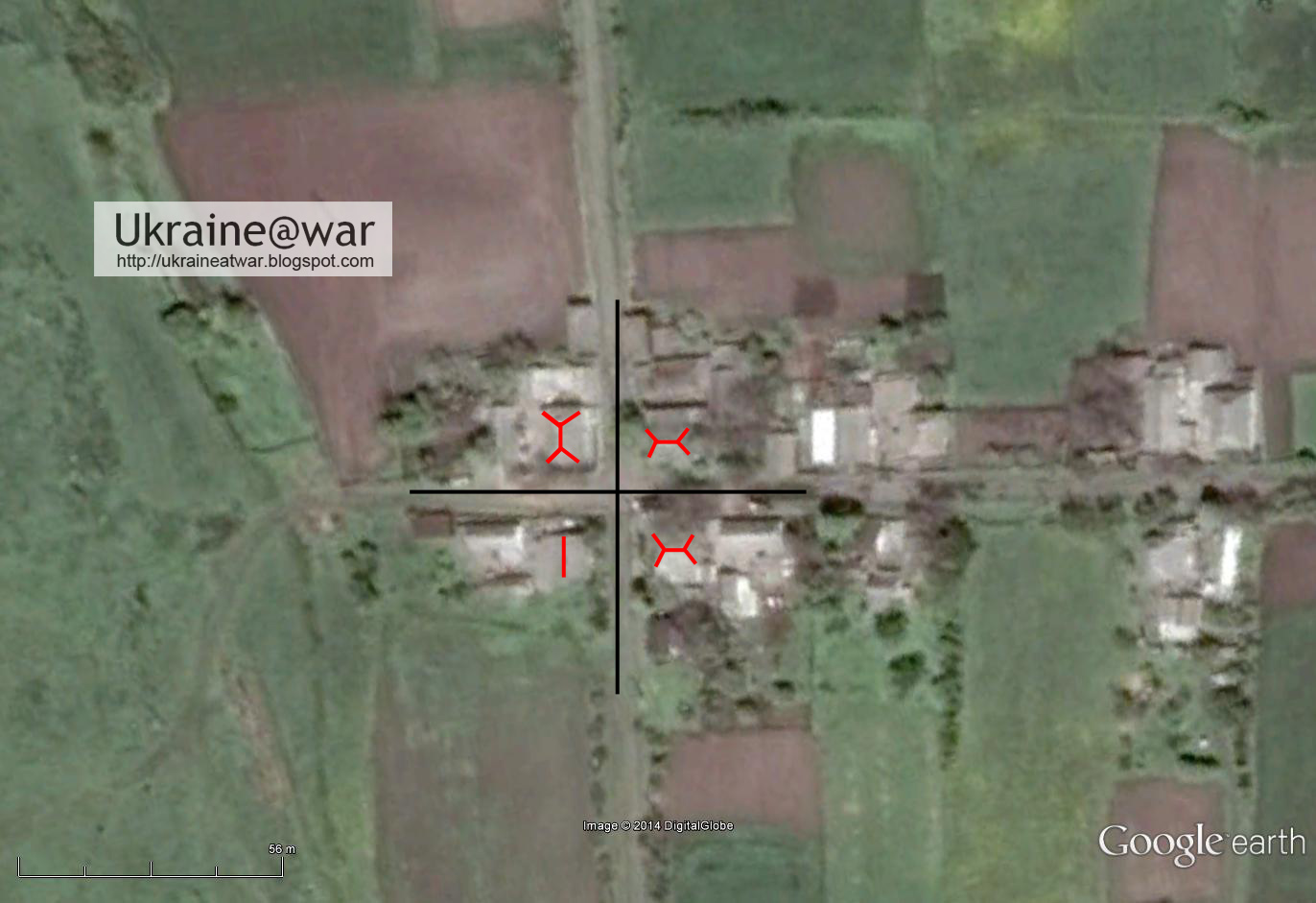
Another position with buildings and trenches:


It was already known from VK-photos that this camp existed. But now the full extent of it is clear.


Link to photoLink to original.


Link to photo. Link to original.


Link to photo. Link to original.


Link to photo. Link to original.


Link to photoLink to original.


Link to photoLink to original.

More photos can be found here.


Weird thing is that there is some kind of pipeline or sewer to or from that area to a nearby lake (blue line):


This can be seen on the October 20th 2013 image, but NOT on the August 28 2012 image.

It means they were already executing the plans to build this camp (for invasion of Ukraine) at the end of 2013.


Help spread the message:

Google Earth also revealed ANOTHER Russian camp 8 kms from the Ukrainian border near Lugansk:


Russian armor attacking Ukrainian positions from Styla

Four videos show Russian armor at a crosspoint at the edge of some village attacking Ukrainian positions:


Some screenshots.

Commander giving directions where to shoot:


Tank driving towards the crossroad:


The new markings on vehicles not seen before:


From the first video a layout of the crossing and buildings there can be made:


Yellow line = electricity lines.

Most important pattern to look for is how the roofs are positioned towards each other, like this (180 degrees turned compared to previous drawing):


Three out of the four roofs have the typical angled structure found in Ukrainian villages. The fourth is more straightforward.

This pattern can (only! and exactly) be found here:


But everything else, like trees, other houses and shacks match too:


On a larger scale it looks like this:


Red arrow = direction they are shooting to.

Link to Google maps.

Conclusion
Clearly the Russians are not interested in peace or cease fires... They fire/attack in the direction of Ukrainian positions whenever they feel the opportunity is right. Thus breaking the Minsk agreements or trying to provoke Ukraine to fire back.

But DO remember this: these FOUR videos from the same event are filmed and published by the Russian themselves! Either they are dead stupid, or they WANT us to know they do this...


Help spread the message. Retweet this:

Monday, January 5, 2015

Russian Gvozdika 122 mortar team on standby near MH17 crash area

A certain Vladimir Vladimirovich from Russia has a bunch of photos on his VK-album showing a team of Russian self-propelled mortars and support vehicles near a slagheap in Ukraine, date January 3rd:


Link to original.


Link to original.


Link to original.


Link to original.


Link to original.


Link to original.


Link to original.


Link to original.


Link to original.


This concerns 2S1 Gvozdika 122mm self-propelled howitzers. See this link for info on them.

@5urpher has geolocated this here on Wikimapia.

The vehicles can be positioned like this on the map:


Pink line = electricity line
Red car = self-propelled mortar
Orange car = mt-lb command vehicle
Yellow cars = trucks

The pattern of bushes can be matched:


One photo shows the tower of a mine on the background:


That tower can be seen in this Panoramio photo from a different angle:


It is in the line of sight of how that photo was taken:


That location is at the edge of the MH17 crash site:


Green area = MH17 crash site
Yellow line = approximate front line

Conclusion
All this equipment comes from Russia. The people on the photos give the impression that those are locals. But appearances me be misleading. Russian regular army invading, occupying and annexing Crimea were also called 'self-defence'. Russia recruits and trains soldiers from all over their hemisphere to fight in Ukraine. And thus locals are also very welcome. Yet, this is NOT a local affair. It is a Russian operation. And thus this is a 'Russian' army unit.

This team is are clearly not in a firing position (yet). They seem to be at an assembly point. Yet, they are deployed outside and could fire within minutes if necessary. They are likely on a stanby notice here.

The position is very close to the MH17 crash area. Instead of avoiding this area with heavy mortars, they seem to seek it. If they would receive return fire, they can play the blame-Ukraine-card again.

Since this is just 3,5 kms from the frontline, it is a clear violation of the Minsk-agreements where it said that heavy artillery should be retreated 30 kms from the demarcation line.

Also see: Google Earth shows Russians used MH17 crash area intensively for firing MLRS

Was Ukrainian BUK 312 stolen by Russian (proxy) terrorists?

Desperate Russians try every single remote option to avoid the inevitable: that they have to admit that they shot down MH17 with their own BUK.

So the latest fashion is to claim that it was Ukrainian BUK 312 that shot MH17 down. This implies it must have been stolen, because the launch location is known and that area was and still is in Russian control.

But the one that shot down MH17 does not match UA BUK 312:
No do the numbers of the MH17 BUK, the Russian BUK that bellingcat found and Ukrainian BUKs match in any way:

This should be sufficient actually, but nevertheless, I will address the other issues here as well.

First there is this photo of UA BUK 312 on a white trailer, that resembles the white truck that transported the Russian BUK:


These photos are from an incident in March 2014 as is reported (for instance) on this VK-site.


The truck may APPEAR similar, but it definitely is NOT the same truck.
These photos are therefore UNRELATED to the MH17 incident.

More photos of that incident:

Kramatorsk Airfield
A couple of days ago this photo of UA BUK 312 was discovered on the Russian owned social network VK:


Due to the publicity it got, it has already been removed (by the Russian FSB of course)! This fact alone proofs that Russia is guilty and actively trying to hide or blur it's own involvement.
Yet, even though the photo has been removed from the album, it is still on the VK-servers. And a direct link to it still reveals it.

This is a screenshot of the photo in the album (note the date):


The upload date is August 17th. Which means the photo must have been taken on or before that date.

This is another similar photo from the same location showing a BUK radar (the other one is a TELAR), which has also been removed:


Link to original.

As can be seen it is from the same date:

It is shot from almost the same position with the camera turned to the left.

The Ukrainian soldier who posted these photos has an album with a lot of photos showing his involvement in the army. He has visited several locations in the conflict area, as indicated by some geotagged photos.
There is a whole bunch of Aug. 17th photos. It looks like he took the photos earlier on several locations and he uploaded them on that date when he had time and a (good) internet connection.
Thus, likely the BUK photo has been taken earlier than the upload date.

On this blog it is suggested that both BUK photos may have been taken on Kramatorsk airport.
When we investigate this suggestion, we can confirm beyond any reasonable doubt that this is the correct location.
This is the camera position and the field of view:


Amazing is that on the August 20th satellite image the BUK is at exactly the position as in the photo!
These are all the matching elements (besides the BUK):

The only thing that does not match are the helicopters. But comparing several dates of satellite images show that the helicopters have different positions every date. It means that they are being used and go and come back to their positions.


Thus the photos have been taken when the helicopters where away on flights.


Eliot Higgins pointed out that the air control tower is visible in the photo with the radar:
Here you can see it:


This Panoramio photo shows the control tower and antenna next to it:


More proof that the location is absolutely correct.


On this July 26th image the BUK can be seen in a slightly different position:


This image is of a better quality than the later one. Clearly the four white tips of the missiles can be distinguished (in line with the orange lines). Proof that this indeed is a BUK.


Eliot pointed at another photo, shot at the same location in opposite direction:


On the background at the right side the BUK is visible. This links the helicopters visible on Google Earth with the BUK.


On this August 4th satellite image both the BUK radar and the BUK TELAR can be seen in exactly those positions as on the photos:


That means the photos must have been taken on or around this date.

Since the July 26th image show the BUKs in different positions, the photos must have been taken anywhere from that date. And since the photo was uploaded on August 17th, it therefore must have been taken between July 27th and August 17th.


Conclusion
UA BUK 312 has been spotted on Kramatorsk airfield beginning of August. It can already be seen there since July 23rd. That shows it was ALL THE TIME in Ukrainian possession and control.
So all suggestions from the Russians that this Ukrainian BUK may have shot down MH17 are just absolete.
They will have to come up with something new again. (Or just admit the truth of course...)

Or maybe we just ignore their nonsense anyhow, because it does not even deserve our attention?

Do you appreciate this and other articles? Do you think it is important that this information is published?
I'm not working for a newspaper or magazine. If you sponsor me, you help me to keep this blog up and running.
See the Paypal Donate-button in the top right side of this blog or subscribe in the About-me-section.