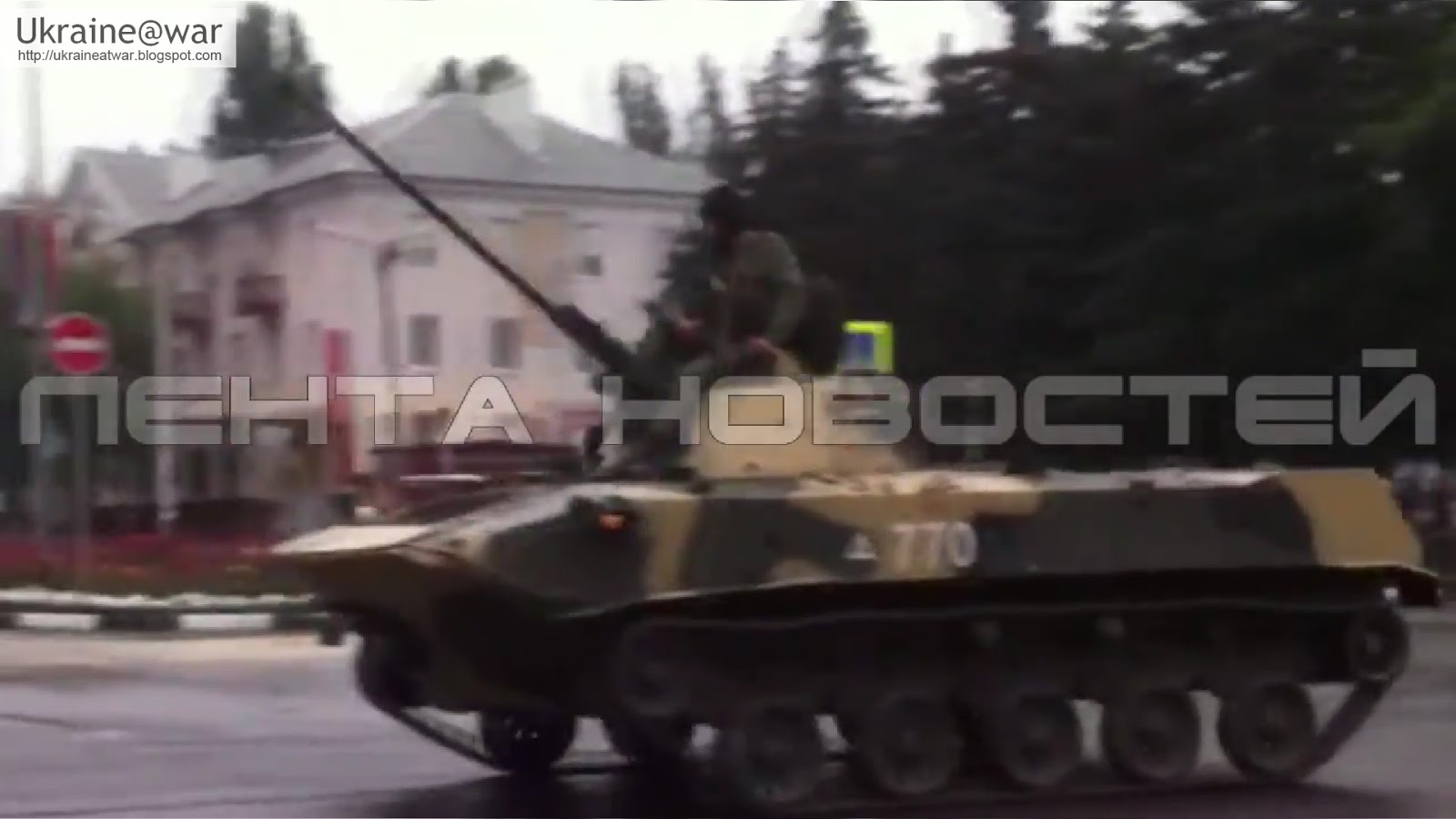
A screenshot from the video:
This is the geolocation thanks to @AlexandruPlesca:
In Google Streetview (zoomed in):
On a larger scale:
Red circle = spotted location
Blue = border
Yellow = official border crossing
Dotted red arrows = possible unofficial crossings?
Now the BIG QUESTION is: what were those BMDs doing there driving into that direction?
The official border crossing is more to the North at the yellow line.
A good reason to drive here is to unofficially cross the border at one of the red dotted arrows.
UPDATE:
Now that we know that the Ukrainian army advances very close to the border, this unit probably mirrors it's movements or might even attack at.
Here is another video of the same column a little bit further down the road:
These are all the different vehicles (11 total):
Another movie at the border of the city:
Geolocation (thanks to @UKgrids):


No comments:
Post a Comment